
Snow has arrived and ice, frost and subzero temperatures combined with ‘frequent and substantial’ snowfalls in much of the UK are already causing chaos on the roads - with more to come on Thursday, according to the Met Office.
The forecaster has issued a clutch of yellow weather warnings for ice and snow in various parts of the UK on Thursday, while cold and frosty weather remains on the radar for the entire country going into the weekend and early next week too.
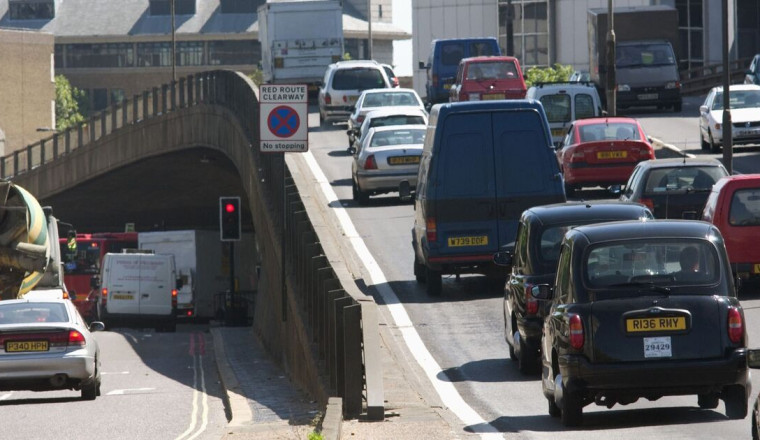
As part of advice issued by breakdown experts at the RAC on how to drive in snow and ice, drivers have been warned they should be careful when driving over bridges this week.
Even after snow and ice start to melt, bridges remain more dangerous and often hide patches of ice.
It may sound odd, but that’s because bridges behave slightly differently to other parts of the road, shielded from the sun by their sides, creating a ‘microclimate’.
The RAC explains: “It’s important to think about the environment that you’re driving in, especially microclimates that might appear on the road.
“These are areas that perhaps the sun hasn’t got to, which could stay icy when the rest of the road has thawed.
“Bridges are a good example. They’re normally the first to freeze and the last to thaw. So be aware of that when you’re driving in open spaces.”
The RAC also says that you should leave ‘10 times’ the stopping distance between cars that you normally would when driving in snow and ice, and use a low gear when driving downhill and ‘avoid breaking unless necessary’.
You should also use dipped headlights, rather than daytime running lights, during snow. It adds: “When driving in heavy snow, make sure that you use your dipped headlights. Relying on daytime running lights is not enough, because they don’t always put lights on the back of your car.”
Met Office Chief Forecaster Neil Armstrong said: “Cold Arctic air from the north is firmly in charge of the UK’s weather, bringing the first notable cold snap of this autumn and giving an early taste of winter weather.
“As a result, winter hazards are likely through the next few days, with snow and ice a particular hazard, and the coldest conditions likely on Wednesday and Thursday. Wintry showers will affect areas exposed to the brisk northerly wind, in particular Northern Ireland, south west Wales, south west England, north east England, East Anglia and across the northern half of Scotland.”
He told drivers that ice will continue to pose a hazard on the road in the coming days, adding: “Temperatures are well below average for the time of year and could get as low as -10°C in rural parts of Scotland on Thursday night, with daytime temperatures generally in low single figures for many. With clear skies, overnight ice could create some particularly tricky travel conditions.”